Berlin, Mauerbau, Oberbaumbrücke
At the border crossing East German checkpoint at the Oberbaum Bridge,1961.

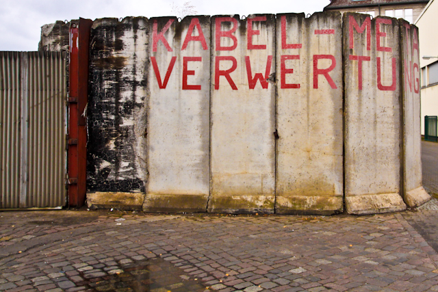
When the Berlin Wall was built in 1961 the bridge became part of East Berlin’s border with West Berlin. Beginning on 21 December 1963, the Oberbaum Bridge was used as a pedestrian border crossing for West Berlin residents only. After the opening of the Wall in 1989, and German reunification the following year, the bridge was restored to its former appearance, albeit with a new steel middle section designed by the Spanish architect Calatrava.

Next Section

Teltow-Werft_1_Teltowkanal
The Teltow Canal lies in both the states of Berlin and Brandenburg, and at points forms the boundary between the two. The canal is 37.83 kilometres in length and links the River Havel near the city of Potsdam. Towards its eastern end, the Teltow Canal is linked to the Landwehr Canal by the Neukölln Ship Canal, while the Britz Canal connects the Teltow Canal with the Spree. There is only one lock on the canal, at Kleinmachnow. The canal is navigable by boats with a draught of up to 1.75 metres and with a maximum bridge clearance of 4.4 metres.

Next Section
The Spree

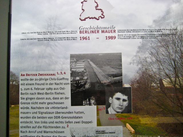
The course of the river was the scene of fighting during the conquest of Berlin in World War II. In the following decades and after the construction of the Berlin Wall, many East Berliners tried to escape across the river. In 1989, it was decided to retain a 1.3 km section of the Berlin Wall along the River Spree to house the East Side Gallery.

In Berlin, the Spree forms part of a dense network of navigable waterways, many of which are artificial, and which provide a wide choice of routes. Several important commercial harbours can be found on this network, and tugs and barges move sand, grain, bricks, and beer. Tour boats tour the central section of the Spree and its adjoining waterways on a frequent basis.

Next Section

Oberbaum drücke, Spree & Teltow canal

The path of the Berlin Wall

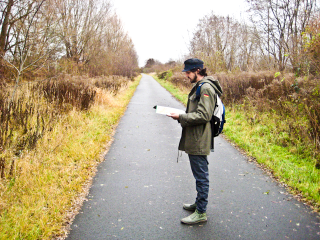
We decided to take a trip and follow the path of the Berlin Wall across the river Spree, to check the possible routes on the map designed by Stanislav Dravoneg, that He could cross to the west side of Berlin, in Neukölln “To the American Sector” until The Colony of BushKrug  by the Teltow canal reaching the checkpoint the Oberbaumbrücke.

Next